Thursday, August 27, 2020

Cannonville, Utah - Kodachrome Basin State Park 8/27 - 9/1 2020 Travel Tour

  From: casarollnotes.blogspot.com 
Tim and Linda Bunyan

From Bryce Canyon National Park we head south a bit to stay at Kodachrome Basin.  It is a state park near Cannonville, Utah west entrance to the Grand Staircase Escalante National Monument (ReserveAmerica.com) $35.00/day, full hookup is situated 5,800 feet, 20 miles southeast of Bryce Canyon National Park.  Kodachrome Basin is one of the state's most photogenic parks.   Kodachrome Basin is a spectacle of towering sandstone chimneys.
It is named for its vibrant color in 1962 the area was named after a color reversal film introduced by Eastman Kodak.  Kodachrome Basin was named with Kodak's permission.


This 'user-friendly' state park is dense with geologic features and highly accessible.  We spent every day on a great hiking trail directly from camp; we hiked 4 of the 6 trails.  

The geologic interest of the park is sandstone spires and columns called sand pipes, believed to be found nowhere else on earth.  Each rock layer reveals times of upheaval and times of relative peace of more than 180 million years ago.

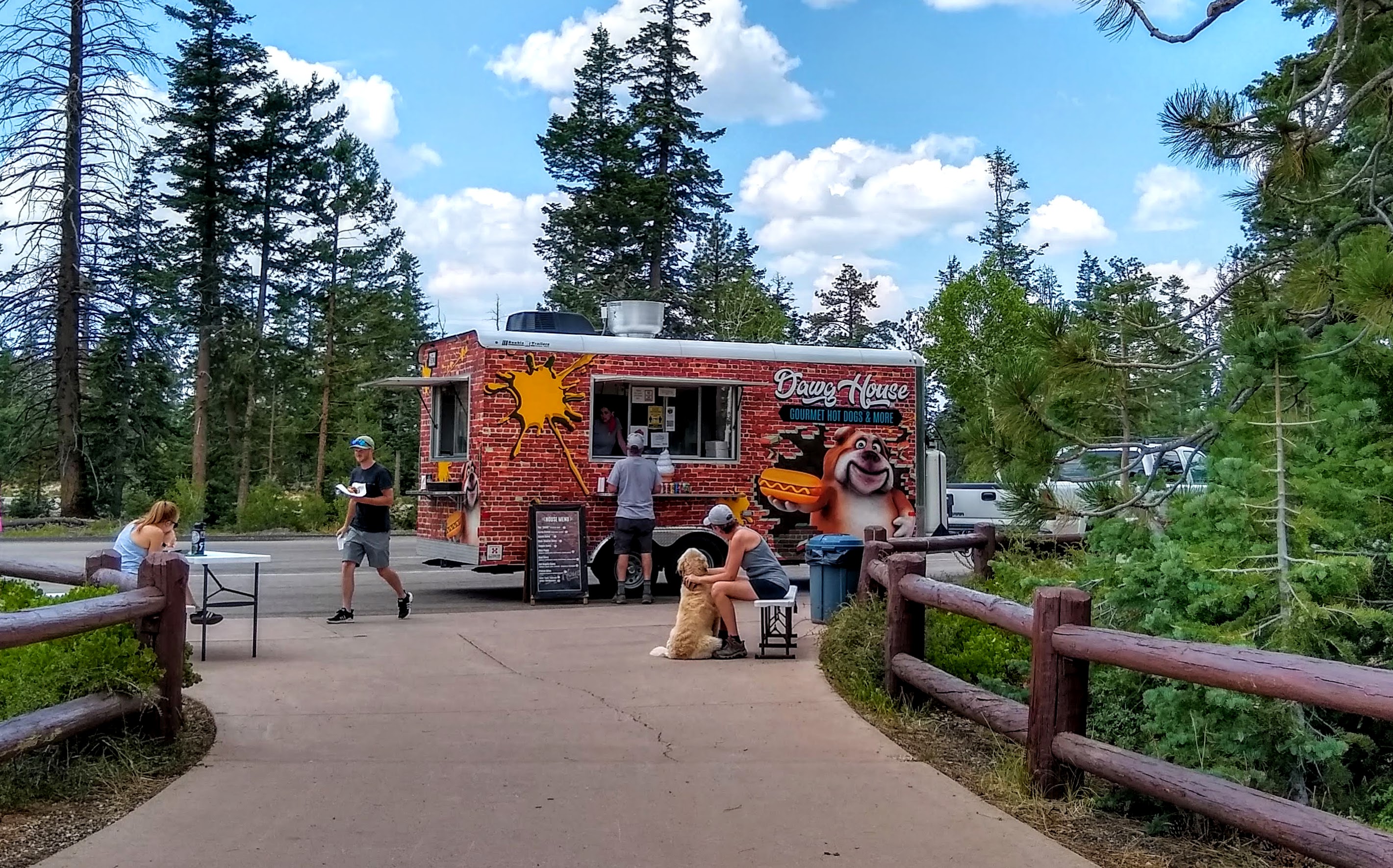
On the trail, we met a mountain biking family, from nearby St. George, Utah that frequents the park often in preparation for their high school mountain bike team competition.  The Cycling League state championships are held throughout the school year.   


Indian Cave along the Panorama Trail is 3 miles of  hiking trail.
Spires and pinnacles remain; created from Millions of years gone by.
Hat Rock, named feature on this Trail.
The contrasting landscape up close through Secret Passage.  Geologic located on the Colorado Plateau an uplifted region that covers much of the four corners area of Utah, Arizona, New Mexico, and Colorado The formations range from the middle Jurassic Period  (180 million years ago) to the Cretaceous Period (95 million years ago).
                                                                         Ballerina Spire
Shapes and faces of the pinnacles.

Lookout with magnificent views.
In the far distance, see the pink rock of Bryce Canyon National Park.

The special charm of this trail is being surrounded by sedimentary pipes and geological features.
From every angle.

The park has a new, full-service laundromat.  One-hour horseback rides are $40.00 per person.....we need the exercise, so we chose to hike on foot.
State Park full-service laundromat
State Park cowboy!
He is riding to catch up with the Horse Trail group.

The Angel's Palace Trail 1.5 miles, easy/moderate.  We hiked out onto the ledge of this rock wall formation for wide views of the semi-distant Paunsaugunt Plateau (the rim of Bryce Canyon).


A photographer's paradise.

Tim repairs the trail marker by arranging the support rocks.  Trail markers are a needed feature on this rocky trail.
There, see below, within the valley floor of Utah juniper, big sage, and Morman tea bush 
is our campsite.
Overtime the Entrada sandstone eroded, exposing the staggering array of chromatism displayed on the sandstone surface.  Colors are remarkable: red, white, brown, and yellow layers of sediment shift and transform with the movement of the sun and shadows
 of the valley.
We spoke with other RV campers.  They come from close proximity and over the course of their lifetime to visit and recreate at this popular State Park.
              Yellow Wildflower in Kodachroma Basin State Park Utah.

Now on our way north about 100 miles to Capitol Reef National Park.

Sunday, August 23, 2020

Bryce, Utah - Bryce National Park/Sunset RV Campground 8/23 - 8/27 2020 Travel Tour

   From: casarollnotes.blogspot.com 
Tim and Linda Bunyan

Less than 100 miles north of Zion, we travel via Scenic Byway 12, to Bryce Canyon National Park, southern Utah.  Established in 1928, Bryce was preserved as one of the most stunning landscapes on Earth!
Land Area:  36,000 acres
Geological Province:  Colorado Plateau/ Last part of the Cretaceous Period (145-66 M years ago) and the first half of the Cenozoic era
 (66-0 M years ago).
Hoodoo-forming Strata:  Claron Formation/ The Pink Member of soft limestone.

Elevation:  7,600 to 9,100 feet
The Grand Entrance to Bryce National Park

Using the Senior Pass to the entrance to Sunset Campground of the National Park
 $15.00/night (Snr half price).  No electrical hookup, but at 8500' elevation, no need for air conditioning.  We stayed 3 full days so the water fillup was plenty for the period of time; 
dump station at the exit.

We are eager to hike these trails that are nicely laid out.  Bryce is equally impressive as Zion!  These are the Rock Stars of our National Parks. 

This is a hiking trail Warning sign......my Warning: bring bottled water; one bottle per hour in summer.

The canyon is really a collection of giant natural amphitheaters with the thickest walls in the Grand Staircase.  Sheer walls are formed nearly 1/2 mile tall in many places.  One particularly show-stopping option Tim and I choose is the mile-long route between Sunrise Point and Sunset Point, which is breathtaking in the morning hours when golden light catches the colorful formations in a truly indescribable way. 
Hoodoos, formed by frost weathering and stream erosion of the river and lake bed sedimentary rocks.  The rim at Bryce varies from 8,000' to 9,000' in elevation.
Visible limestone in the Grand Staircase forms this circle of painted cliffs..

The resilient Limber Pine can be found surviving in this dramatic landscape.


We choose the Queens Garden Trail where one, with a good eye, can find the hoodoo Queen.


These knobby, colorful columns of red rock are just as weird as their name: hoodoos. Their height (up to 150 feet) and vivid colors of these formations are remarkable to behold demonstrate Bryce has the most hoodoos in the world.


The evidence of the winter river stream that washes through the limestone carving shapes for millions of years.....and the Paria River tributary to the mighty Colorado River!

An International Dark Sky Park.
The trail is definitely up and down these cliff walls which makes for an exciting and interesting hike.


This is Upper Loop Trail which ends with a dramatic view of "Wall Street" hoodoos!

The broad overlook at 8,300' of the beautiful Bryce Canyon National Park.  The Bryce Point overlook offers fantastic views of hoodoos and grottos. 
 The Rim trail begins here and continues to Fairyland.  
We see windswept, mind-boggling vistas standing here on the edge at Bryce Point.


In the distance, you can spot Kodachrome Basin.  It is about 30 miles and we are going there next!


This is a visually magical, spiritual place.
A Colorado River tributary, the Paria River erodes headward in between two plateaus adjacent to the park.

Farview Point.  To our delight (and amazement) we find a Food Truck serving: ice cream.....at the National Park!
Our National Government (of the people) offer excellent parks.  Cheers to the government......and the ice cream found here at Bryce National Park!


The name tends to be misleading, Natural Bridge is one of several natural arches in Bryce Canyon and creates a beautiful scene at this viewpoint.  
This arch, sculpted from some of the reddest rock of the Claron Formation (rich in iron oxide minerals), poses a stark contrast to the dark green of the Ponderosa forest that peeks through the arch from the canyon below where the Paria River runs through.


Vast cliffs and canyon.  Not a dull view in any direction!
The top at 9,115' elevation, Rainbow Point viewing room.


The view of the famous bristlecone forest here in Bryce National Park.  Bristlecone Pines are among the oldest living organisms on earth.  Bristlecones are only found in six states.  Utah included.  We hiked to the grove in Great Basin National Park in Nevada this past June.

The Lodge at Bryce Canyon is set around a landmark 1920 building.  This rustic property in Bryce Canyon National Park is adjacent to the Rim Trail and 75 miles from Zion National Park.
Inside the lobby, the chandelier made with a pine log retains the rustic feel of the great lodge.
This covid year made for a few visitors.  Oddly, the lodge restaurant was open for pizza takeout and the cabins were open for the vacancy.

Tim looking at the Horsepower of this electric bike parked in front of the Lodge at Bryce Canyon.
Tourists arrived by horseback circa 1918.
Departing Bryce Canyon National Park, our drive through Bryce Canyon City.  The town is formerly known as Ruby's Inn.  Reuben C. "Ruby" Syrett built a lodge and cabins at this location in 1916 when the promotion of Bryce Canyon for tourism was just beginning,
We are headed to Kodachrome Basin Utah State Park, a mere 30 miles.